

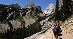


Weather information for the Snowy Range area is provided below. Average temperatures, climate details and current forecasts are included!
- Loading
Your request has been processed, thank you!
We also have the following visitor guides in Wyoming. Click on any additional guides you would like to receive.


Visit Idaho Idaho
Visit Idaho
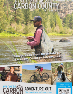
Carbon County South Central
Carbon County

Bear Lake Northern Utah
Bear Lake

Uintah County - Vernal Northeastern Utah
Uintah County - Vernal

Visit Moffat County Northwestern Colorado
Visit Moffat County

Logan - Cache Valley Northern Utah
Logan - Cache Valley

Box Elder County Northern Utah
Box Elder County
We also have visitor guides available in states highlighted in blue below. Click on any state to see what's available.
- Alaska
- Arizona
- California
- Canada
- Colorado
- Hawaii
- Idaho
- Michigan
- Montana
- Nevada
- New Mexico
- Ohio
- Oregon
- Texas
- Utah
- Washington
- Wyoming


