


Weather information for the Sangre De Cristo area is provided below. Average temperatures, climate details and current forecasts are included!
Climate
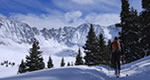
Weather conditions in the Sangre de Cristo Mountains vary greatly based on altitude and time of year. The sharp mountain ridge catches winds blowing across the flat regions on either side and can produce tremendous winds. Make sure to check local weather conditions and wear layers of clothing when venturing into the Sangre de Cristo range.
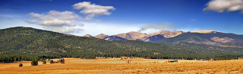
The below information is for Salida on the northern end of the Sagre de Cristo range. The mountains tend to be colder than this data suggests.
| Jan | Feb | Mar | Apr | May | Jun | Jul | Aug | Sep | Oct | Nov | Dec | ||
| Avg. High | 42 | 45 | 51 | 58 | 68 | 78 | 83 | 81 | 74 | 63 | 49 | 42 | |
| Avg. Low | 12 | 15 | 21 | 27 | 36 | 43 | 48 | 47 | 40 | 28 | 20 | 13 | |
| Precipitation | 0.1 | 0.2 | 0.6 | 0.7 | 1.0 | 0.8 | 1.3 | 1.6 | 0.9 | 0.9 | 0.3 | 0.3 | |
Live weather is currently unavailable.
Please visit weather.gov for current and forecasted weather.
This Afternoon
Slight Chance Showers And Thunderstorms
Tonight
Slight Chance T-storms
Saturday
Partly Sunny then Chance T-storms
Saturday Night
Chance T-storms then Mostly Cloudy
Sunday
Mostly Sunny then Chance Showers And Thunderstorms
Sunday Night
Mostly Clear
Detailed Forecast |
|
|---|---|
| This Afternoon | A slight chance of showers and thunderstorms after 3pm. Mostly sunny, with a high near 53. West wind 15 to 20 mph, with gusts as high as 35 mph. Chance of precipitation is 20%. |
| Tonight | A slight chance of thunderstorms and a chance of rain and snow showers. Mostly cloudy, with a low around 33. South wind 10 to 20 mph. Chance of precipitation is 40%. New rainfall amounts less than a tenth of an inch possible. |
| Saturday | Showers and thunderstorms likely between noon and 5pm, then a chance of thunderstorms and rain and snow showers likely. Partly sunny, with a high near 48. South southwest wind 5 to 10 mph. Chance of precipitation is 70%. New rainfall amounts between a tenth and quarter of an inch possible. |
| Saturday Night | A chance of thunderstorms and a chance of rain and snow showers before midnight. Mostly cloudy, with a low around 31. Southwest wind 0 to 10 mph. Chance of precipitation is 40%. New snow accumulation of less than half an inch possible. |
| Sunday | A chance of rain showers between noon and 3pm, then a chance of showers and thunderstorms. Mostly sunny, with a high near 52. West wind 0 to 10 mph. Chance of precipitation is 30%. |
| Sunday Night | Mostly clear, with a low around 35. Southwest wind around 10 mph. |
| Monday | Mostly sunny, with a high near 56. West southwest wind 10 to 20 mph, with gusts as high as 35 mph. |
| Monday Night | Mostly clear, with a low around 35. West wind 10 to 20 mph. |
| Tuesday | A slight chance of showers and thunderstorms after noon. Mostly sunny, with a high near 55. Southwest wind 10 to 15 mph. Chance of precipitation is 20%. |
| Tuesday Night | A slight chance of showers and thunderstorms before 10pm, then a slight chance of thunderstorms and a slight chance of rain and snow showers between 10pm and midnight. Mostly cloudy, with a low around 35. South wind around 15 mph. Chance of precipitation is 20%. |
| Wednesday | A slight chance of showers and thunderstorms after noon. Mostly sunny, with a high near 55. Southwest wind 15 to 20 mph. |
| Wednesday Night | Partly cloudy, with a low around 36. Southwest wind 15 to 20 mph. |
| Thursday | Sunny, with a high near 54. West southwest wind 15 to 25 mph. |
| Thursday Night | Partly cloudy, with a low around 33. West southwest wind 20 to 25 mph. Little or no snow accumulation expected. |

.jpg)

