


Transportation information for Green River-Rock Spgs is provided below. Travel information includes driving directions, maps, airport information and more.
Transportation Services
Flaming Gorge Resort - Transportation
- Dutch John
- Transportation Services
- 435-889-3773
Star Transit
- Rock Springs
- Transportation Services
- 307-382-7827
GOTCO: Great Outdoor Transportation Company
- Transportation Services
- 307-690-1764
River Runners Transport
- River Rentals & Shuttles
- Transportation Services
- 800-930-7238
Absolutely Wild Wild West Taxi
- Rock Springs
- Transportation Services
- 307-382-2121
Airports
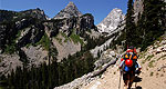
The nearest commercial airport is in Vernal, 35 miles south of Flaming Gorge. Skywest Airlines (800-453-9417) provides daily air service there from Salt Lake City.
Map + Directions
Basic Directions
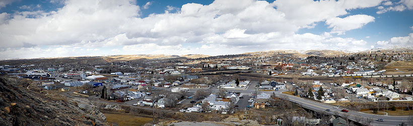
Both Green River and Rock Springs are along I-80 (and State Route 30) and easily accessible. Route 530 from Flaming Gorge ends at Green River and State Route 191 ends at Rock Springs.


