

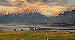


Transportation information for Big Horn Mountains is provided below. Travel information includes driving directions, maps, airport information and more.
Airports
Billings Logan International Airport, a few hours north in Montana, is the largest nearby airport to the Bighorn Range. The airport has several dozen arrivals and departures daily to destinations across the western United States, including Phoenix, Seattle, Denver, and Salt Lake City. Regional carriers provide flights to other Montana destinations such as Helena, Great Falls, and Missoula.
Map + Directions
Basic Directions
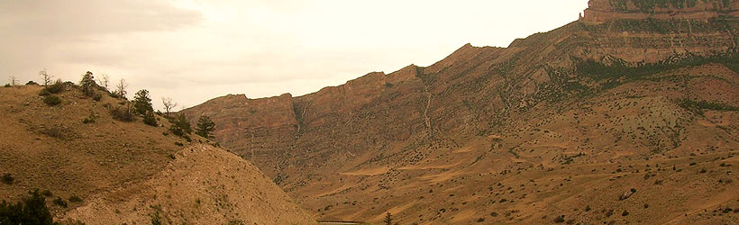
The Big Horn Mountains are located in north central Wyoming, west of I-90 near Sheridan. The two major routes through the area are US 16, connecting Worland on the west with Buffalo on the east, and US 14, running from Greybull to the Sheridan area. 14 continues west to Cody, about 60 miles away.


